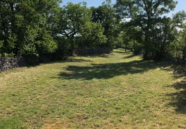
24 km | 32 km-effort
vaillac
gcournac
Utilisateur
Longueur
22 km
Altitude max
416 m
Dénivelé positif
631 m
Km-Effort
30 km
Altitude min
246 m
Dénivelé négatif
632 m
Boucle
Oui
Date de création :
2024-03-31 07:33:09.773
Dernière modification :
2024-04-07 14:43:05.886
5h40
Difficulté : Très difficile
Application GPS de randonnée GRATUITE
À propos
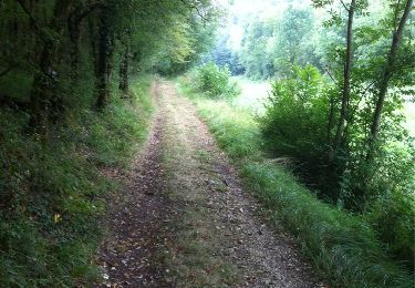
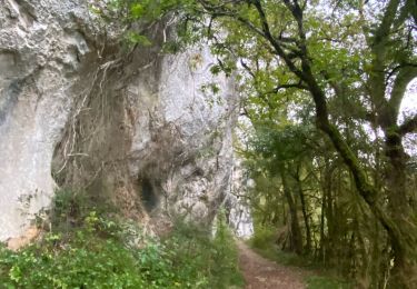
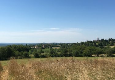
Randonnée Marche de 22 km à découvrir à Occitanie, Lot, Cœur de Causse. Cette randonnée est proposée par gcournac.
Description
belle rando
Localisation
Pays :
France
Région :
Occitanie
Département/Province :
Lot
Commune :
Cœur de Causse
Localité :
Unknown
Départ:(Dec)
Départ:(UTM)
383456 ; 4947780 (31T) N.
Commentaires
Randonnées à proximité
La Via Arverna (Labastide-Murat - Vers)
Marche
Difficile
Cœur de Causse,
Occitanie,
Lot,
France
24 km | 29 km-effort
7h 0min
Non
Sob la bastide murat vers
sport
Très facile
Cœur de Causse,
Occitanie,
Lot,
France
26 km | 33 km-effort
Inconnu
Non
Frayssinet _Cantaune_St-Germain-Ste-Catherine 7,5
Marche
Facile
Frayssinet,
Occitanie,
Lot,
France
7,7 km | 10,2 km-effort
2h 25min
Oui
Labastide-Murat - Vers
Marche
Moyen
Cœur de Causse,
Occitanie,
Lot,
France
24 km | 30 km-effort
4h 47min
Non
LABASTIDE-MURAT
V.T.T.
Difficile
Cœur de Causse,
Occitanie,
Lot,
France
30 km | 37 km-effort
2h 35min
Oui
Labastide-Murat - Soulomès
Marche
Difficile
Cœur de Causse,
Occitanie,
Lot,
France
11,7 km | 14,8 km-effort
3h 21min
Oui
Labastide-Murat - Dolmen de Combescure
V.T.T.
Moyen
Cœur de Causse,
Occitanie,
Lot,
France
33 km | 40 km-effort
2h 48min
Oui